Remote sensing technologies
The Woodland Carbon Code team is exploring how remote sensing techniques could be used for Woodland Carbon Code projects.
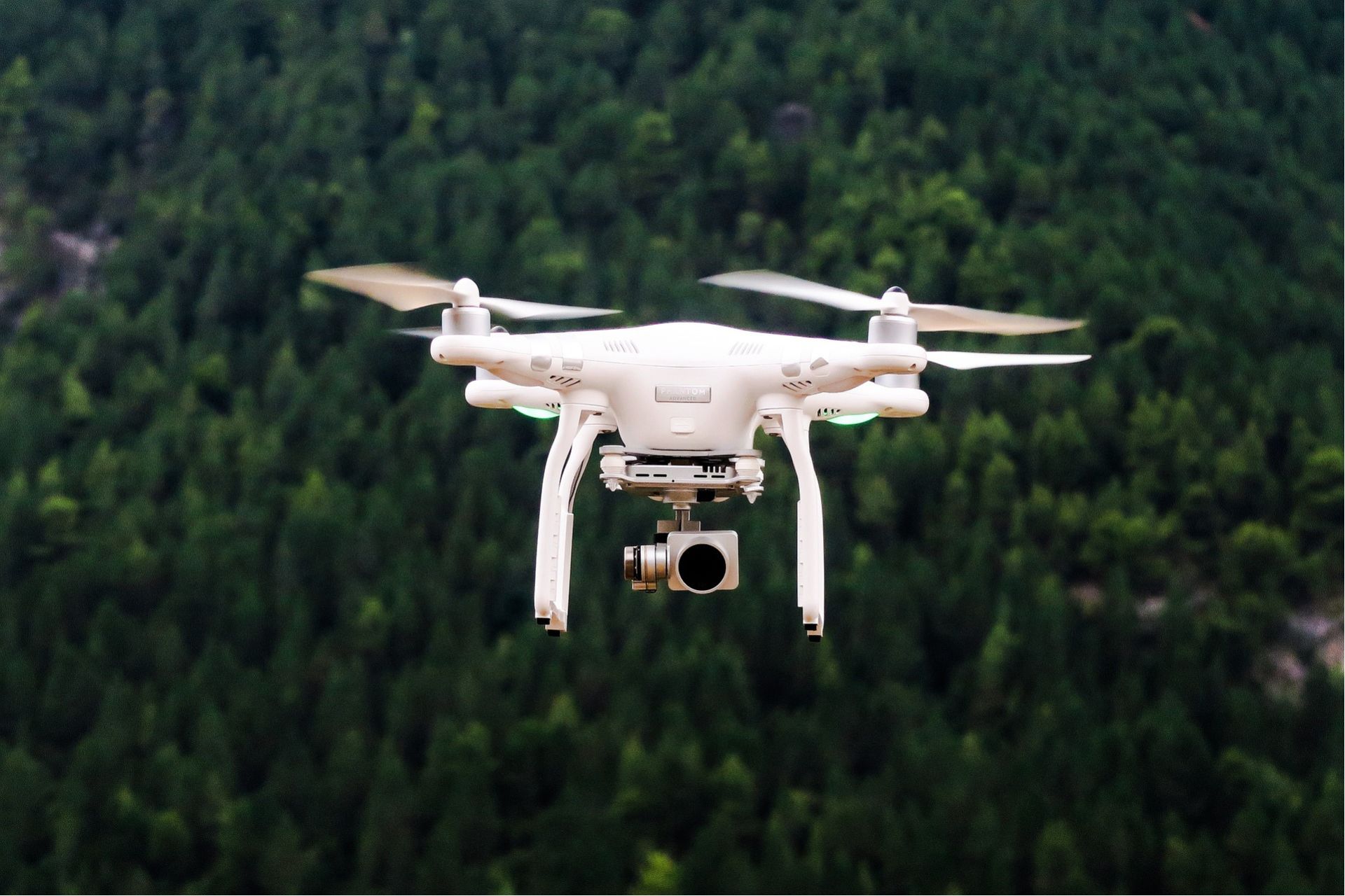
We are investigating how technology such as instruments on drones, planes and satellites could help with verification.
Woodland Carbon Code projects are verified after five years and fifteen years to measure the carbon they have stored.
We will test several approaches at UK Woodland Carbon Code projects during 2024. We will share our findings on our website and in our newsletter.
We hope that our research will help people who want to create Woodland Carbon Code projects. Using the latest science also helps us to continue to create high quality units for carbon buyers.
To find out more about this project, please email This email address is being protected from spambots. You need JavaScript enabled to view it.